

New: Keep your account secure with two-factor-authentication
March 27th, 2024
3 min
This article is brought to you by Datawrapper, a data visualization tool for creating charts, maps, and tables. Learn more.
Welcome to our new monthly blog series in which we collect all the smaller improvements we made to Datawrapper in the previous month.
The biggest update for locator maps is that markers can now be displayed on mobile or desktop only. This is useful for tweaking labels or showing only the most important information on phones, while showing more context on larger displays.
The inset maps also get smaller when the map is scaled down on mobile devices.
It was about time to take care of one of our most used chart types: the column chart.
The grid labels in column charts can now be longer without running into the chart, and we added a new option to place them inside or outside of the grid. They can even be moved to the right side of the chart. Another often requested feature were custom y ticks and the custom y range.

As you can see in our changelog, October has also been another busy month for our basemap selection.
We added lots of new local administrative boundaries for Germany, Austria, Australia, Turkey, the United Kingdom, Norway, Poland, France, Slovakia, Tanzania and Afghanistan.
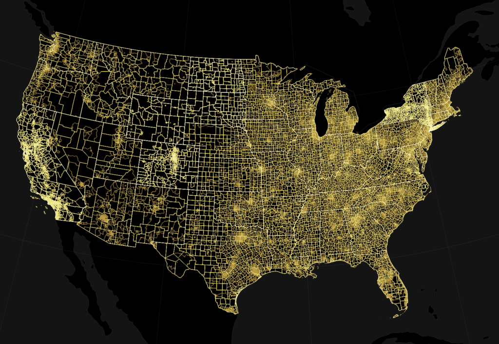
There’s also a new map of all countries that are connected to the Mediterranean Sea and newly added census tracts maps for each of the US states:


Comments