This article is brought to you by Datawrapper, a data visualization tool for creating charts, maps, and tables. Learn more.
View of Antarctica from Berlin

This is Hans, a software engineer at Datawrapper and the person who works a lot on the locator map feature. For this week’s edition of the Weekly Chart, I had some fun with two specific locator map features.
When working on the locator maps tool, I often find myself playing with a map by rotating and tilting it, which can give a new perspective on a place. You might know the famous New Yorker magazine cover View of the World from 9th Avenue by the cartoonist Saul Steinberg. His map is also tilted to an extreme degree, making it possible to see from 9th Avenue in New York City to China, Japan, and Russia:

So I thought I will try to recreate it, with a locator map for my town – Berlin:
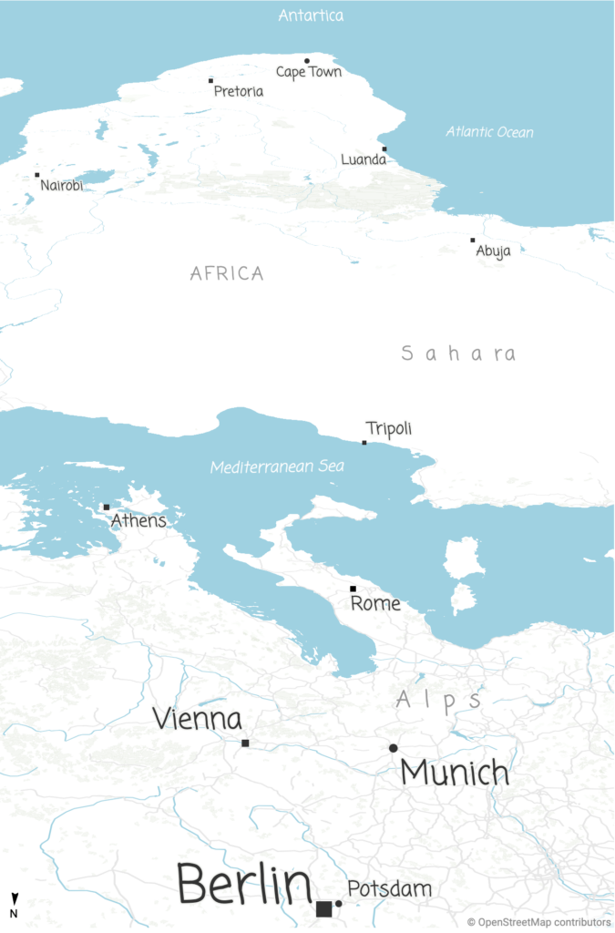
Maps are always an abstract representation of the real world. No map represents our world perfectly. It is simply impossible to capture the complexity and there will always be biases.
The example above is obviously an exaggeration 😉
In case you’ve wondered why the font looks different from what you’re used to in our Weekly Charts: This map uses a custom style. You can learn more about them here.
That’s it from me. If you want to see how I made this map (and how many degrees this map is tilted), hover over the map and click on “Edit this chart” in the top right. We’ll see you next week!


Comments