

French people are losing confidence in the Paris Olympics
March 28th, 2024
3 min
This article is brought to you by Datawrapper, a data visualization tool for creating charts, maps, and tables. Learn more.
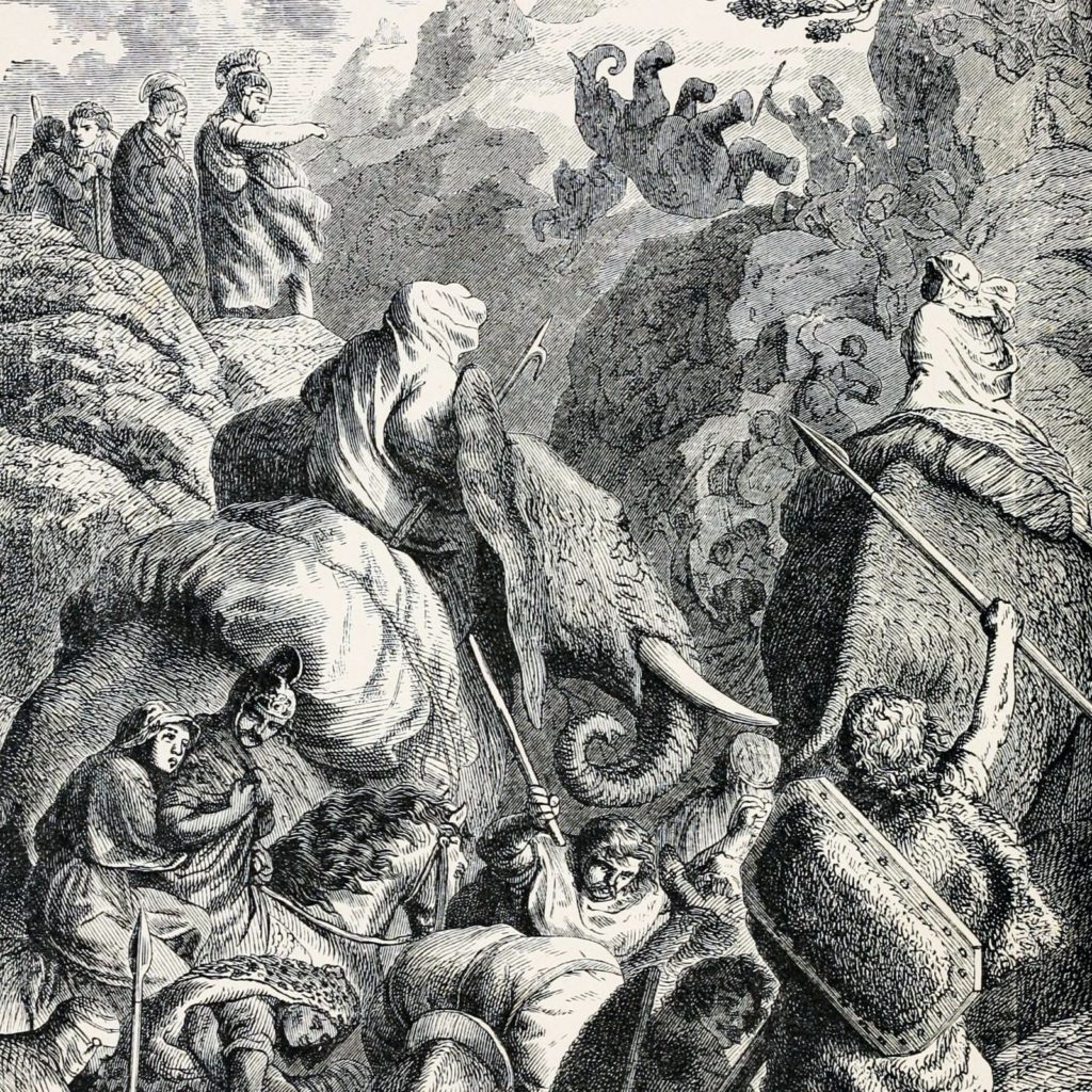
Hi, this is Anna. At Datawrapper, I’m responsible for the maps you can find in our choropleth and symbol map editor. The past year, I have also been busy creating the Mountain layer for our locator maps, so this week I wanted to make a map where the mountains play an important part. History and animals are also big interests of mine – and there is one famous event in the antique world where both elephants and mountains play a big role: Hannibal’s crossing of the Alps.
In 218 BC, 28-year old Hannibal, his soldiers, and his 37 African battle elephants marched from southern Spain to the plains of northern Italy – but took an unexpected route. Instead of following the coastline or going by sea, he crossed the Alps, to the surprise of the Roman Empire army. It marked the start of the Second Punic War, in which the two empires Carthage (a North African city-state in what is Tunisia today, led by Hannibal) and the Roman Empire were fighting over the control of the Mediterranean region.
We know that Hannibal’s army went along the Rhône river in southern France, passed Avignon, and after crossing the Alps, battled near the Ticinus River, before they continued to the south of Italy. No Carthaginian documents about this have survived. But in their chronicles, Polybius (a Greek historian) and Livy (a Roman historian) describe the landscape Hannibal went through, including rivers and the elevation. They give hints of which route Hannibal’s army might have taken through the alps, even though Polybius wrote his chronicle 70 after and Livy 120 years after the event. Based on these documents, the route has been discussed over the centuries. Three possible routes match the descriptions by both Polybius and Livy:
Col de la Traversette is considered the most probable route. Researchers examined the sediment: The results of DNA and Carbon-14 analysis (a method to determine the age of organic materials) suggest that a large group of animals went on this route by the time around 218 BC. But there’s no hard evidence yet that it was Hannibal and his elephants.
What we do know is that in the end, Hannibal, the Carthaginian army and their allies killed more than 500,000 people and destroyed 400 towns – but lost the war. Hannibal went on to become chief magistrate of the Carthaginian state and died approximately 65 years old.
To create the different routes, I used OpenStreetMap routing to create the line markers – the passes through the Alps haven’t changed much in the last 2000 years – and downloaded the routes in .gpx format. I then used mapshaper.org to simplify the lines in the .gpx file (because they were more detailed than necessary for our zoomed out map) and export the result as a GeoJSON, before uploading it as a line marker to the Datawrapper locator maps.
Thanks for reading about Hannibal! If you have any questions or feedback, please leave a comment and I’ll reply as soon as possible. We’ll see you next week!


Comments