Election madness 2024 — one year in the Data Vis Dispatch
January 9th, 2025
3 min
Datawrapper lets you show your data as beautiful charts, maps or tables with a few clicks. Find out more about all the available visualization types.
Our mission is to help everyone communicate with data - from newsrooms to global enterprises, non-profits or public service.
We want to enable everyone to create beautiful charts, maps, and tables. New to data visualization? Or do you have specific questions about us? You'll find all the answers here.
Data vis best practices, news, and examples
250+ articles that explain how to use Datawrapper
Answers to common questions
An exchange place for Datawrapper visualizations
Attend and watch how to use Datawrapper best
Learn about available positions on our team
Our latest small and big improvements
Build your integration with Datawrapper's API
Get in touch with us – we're happy to help
This article is brought to you by Datawrapper, a data visualization tool for creating charts, maps, and tables. Learn more.

Hi, this is Shaylee from the support team, and this week I wanted to talk about my move from Philadelphia to Berlin. That’s a little personal for a Weekly Chart, so instead we’re talking about the trains in Philadelphia and Berlin!
I love public transportation, especially trains. But while I’ve always preferred to take the train, it hasn’t always been an option. I haven’t always lived in cities, and throughout my working life I got used to a wasteful, solitary commute: driving to my destination alone in a car, burning $30 worth of gas on a weekly basis, and never interacting with another person save for the occasional honk or “no, you’re good” wave. So now, when trains are available to me, I always notice a stranger holding the door open, a couple holding hands, and — every now and then, if I’m lucky — a friendly subway-trained dog. These interactions are minuscule, but they make me feel connected to the world around me.
Public transit can be a huge part of living in a dense city like Philadelphia, with its local transit authority SEPTA. However, in Philly, like in many cities across the U.S., the rail system was built for bringing suburban white-collar workers to their downtown offices; train and subway lines don’t connect to each other anywhere except Center City, where they converge to unleash commuters on the downtown area. The other demographic SEPTA serves well is on the opposite side of the spectrum: residents of the densest parts of the city can utilize the strong bus network to cross city blocks (although note that bus routes are not represented in either city’s map here).
While I technically lived well within the city limits of Philadelphia, I didn’t fall into either of the demographics that the system was built for — my neighborhood, Mount Airy, was neither deep in the concrete jungle nor way out in the ‘burbs, but situated somewhere in the middle. This in-between had its perks: my neighborhood had access to a train line, so commuting to downtown for work or university was easy. But if I wanted to go visit my friends in the Northeast, study in a coffeeshop in Manayunk, or commute to my job in a New Jersey suburb, the options became much more limited.
As you can see on the map, Northeast Philadelphia and Manayunk are technically accessible by train, but to get to them from Mount Airy I would have had to go through the downtown hub (and usually change trains, which was only possible at Jefferson Station in the middle of that loop). A trip that took me less than 20 minutes by car would have taken over an hour by train; this never felt like much of a choice at all, and I never took the train to either neighborhood. And my jobs in New Jersey were in suburbs that aren’t accessible by public transit from either state; a car was all but a prerequisite to getting to work at all, let alone on time.
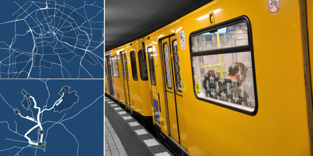
On the other hand, Berlin’s public transit was designed to transport people between its many distinct neighborhoods, as well as to the city center. You can see in this map that the train, tram, and subway lines resemble a net, where you can trace out a path between any two points without necessarily going through the major city stations.
These days I live in Kreuzberg, and I can hop on a subway or tram to get to Prenzlauer Berg, where Datawrapper’s offices are. I visit friends in Schöneberg and Wedding, and spend weekends bopping around Friedrichshain, all without a car. These neighborhoods aren’t suburbs or the downtown core, but trains still connect them all, and this is kind of a novel concept to me.
Even as things stand, Philly’s is the 5th largest mass transit system in the U.S., and it really pays off for the people who live there. According to SEPTA’s 2020 annual report, taking public transit instead of driving saves the average Philadelphia household almost $1,000 annually, and Philadelphians drive at about a third of the national urban average rate. Those are great statistics, because fewer cars are better for health and quality of life in any city, and, especially in Europe and the United States, reducing our emissions is critical for reducing the impact of climate change.
Public transit is a major factor in my quality of life here in Berlin: I save money, I interact with people rather than being isolated in my car, and my carbon footprint is significantly smaller. Living within a system that focuses on better connections between neighborhoods, instead of always having to take the long way around, has had a hugely positive impact on not just my commute, but my whole life.
That’s all I have to say about these two transit systems — for now! Thanks for reading and see you next time.
Comments