


New: Stay organized with a more powerful, faster visualization archive
June 25th, 2024
3 min
This article is brought to you by Datawrapper, a data visualization tool for creating charts, maps, and tables. Learn more.
We at Datawrapper believe that your chart & map data should belong to you. We don’t want to lock your data. Normally, there’s no danger of that being the case: When you create a chart or a symbol/choropleth map, you upload the data – which means that you own the data already.
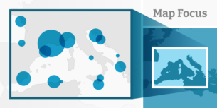
This is different in our locator maps. In locator maps, you don’t upload data – you create it by placing markers and highlighting regions.
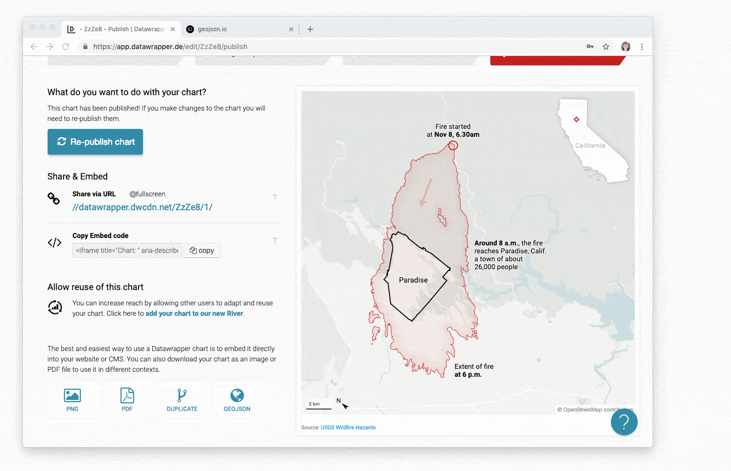
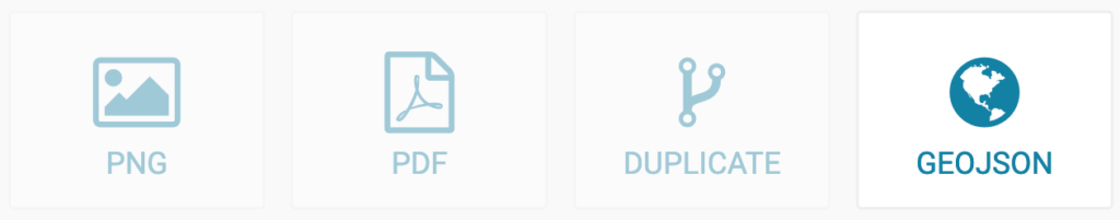
It’s now possible to download this data as GeoJSON. To do so, go to step 4: Publish and click on “GEOJSON”:
This will download a file with the file extension .geojson which contains everything spatial you put on top of your map: the markers you set, the lines & areas you imported and the highlighted regions you defined. The great thing: The GeoJSON includes the styling (fill, opacity, stroke, marker text etc.) of all markers, areas, lines & regions.
The GeoJSON file won’t include the underlying map, its native labels or the inset map, north arrow & scale bar.
You can open your freshly downloaded file with a text editor like Sublime Text or in a geographic information system tool like qGIS or geojson.io.
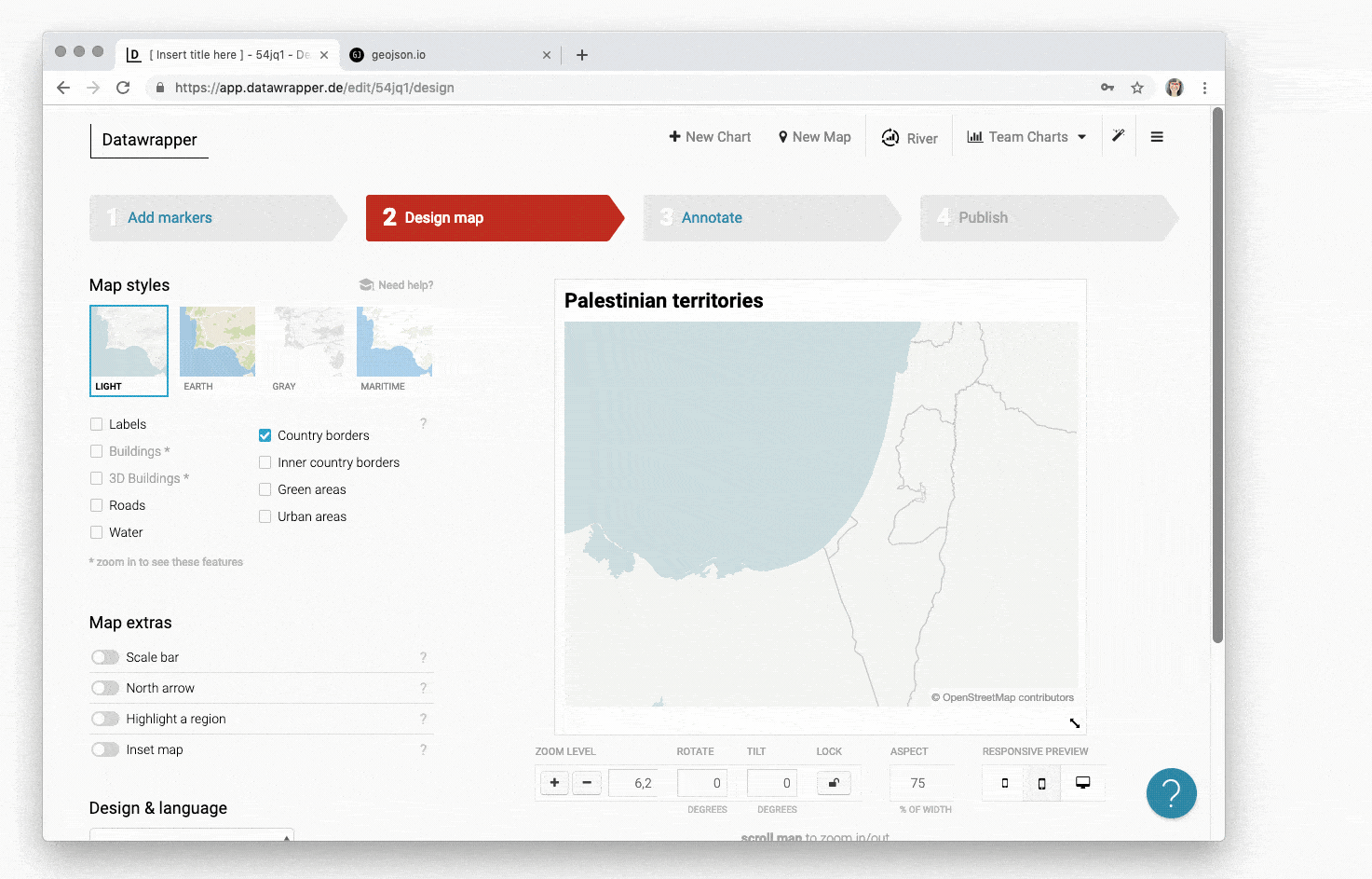
Yes, you can create a locator map with Datawrapper and then export the data to take it to another tool. For example, with the new export feature we give you a way to easily get your hands on a GeoJSON of an administrative region: Go to step 2, highlight a region and then export it in step 4:
But the new export feature also has the potential to make the locator maps that you create with Datawrapper better. Here are two ideas:
We hope you like the new feature – but as always, do let us know if you have feedback, suggestions or questions. We’re looking forward to hearing from you at support@datawrapper.de.
Comments