


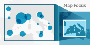
New: Stay organized with a more powerful, faster visualization archive
June 25th, 2024
3 min
This article is brought to you by Datawrapper, a data visualization tool for creating charts, maps, and tables. Learn more.
We’re happy to launch yet another improvement to Datawrapper locator maps. After implementing shaded relief and vignettes over the past few months, you can now select a region and add it to your list of area markers – without the need to import your own:
As you can see in the video above, you can add lots of regions on different administrative levels – like countries, states, counties, or city districts.
Before you commit, we show you a preview of the region you hover over in the region list. That’s especially useful if you’re designing a map about a part of the world you don’t know well.
Once you selected a region with a mouse click, it will appear in the marker list. Here you can adjust it like any other area marker: change the fill color/opacity, stroke color/opacity, add a vignette, etc.
You will encounter two places in the app where you can select regions and add them as area markers:
Markers added with “Highlight a region” work as you’re used to: Since we expect that you want your new area markers to not get in the way of rivers, mountains, labels, etc., they come with the setting “Display below map features” turned on.
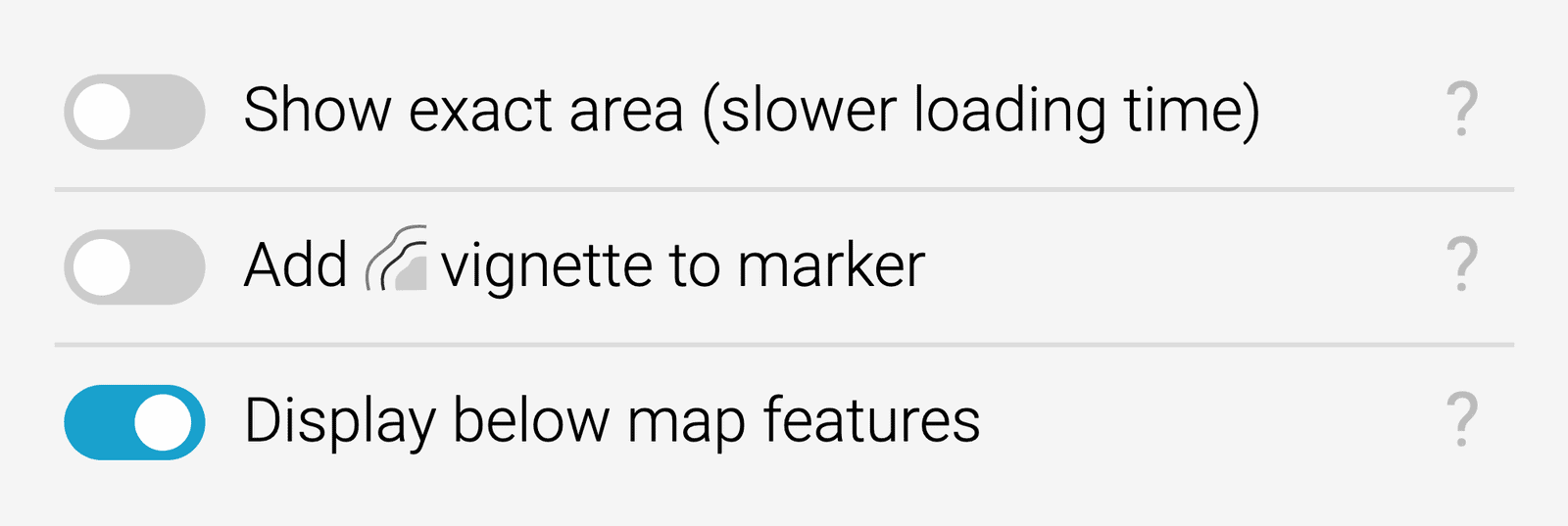
Options you’ll find below “more features” when selecting area markers
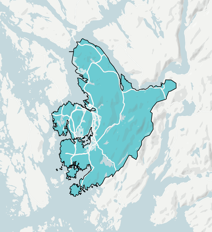
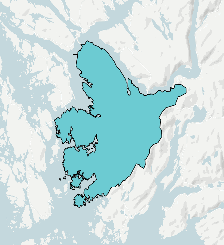
Left: Area marker below map features. Right: Area marker above map features.
There is: You can add regions through our new feature and/or import GeoJSONs to your locator maps as long as they don’t sum up to 2MB in total.
With this limit, you can add lots of regions (we simplified them nicely) and your maps will load fast once you embed them.
This feature doesn’t just exist for new locator maps you build with Datawrapper, but also for old ones: If you open an existing locator map with a highlighted region again, the highlight will be turned into an area marker automatically.
Simple: Create a locator map (no need to sign up to do so) and select Add region as area marker.
You might want to zoom in, first: On the world map, you’ll only be able to select countries. Once you zoom to a country, you’ll see counties, federal states, and eventually city districts in the list of regions.
You can also play around with the map above: Hover over it and select “Edit this chart” to get placed right into the map creation process.
We hope this feature will help you create even nicer-looking maps. Feedback, questions, hints? Write to us at support@datawrapper.de. We’re always happy to hear from you.
Comments